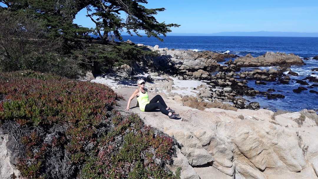
The trail comes right up to the water in places where the volcanic rock has been worn smooth by generations of feet, black and porous and still warm from the morning sun even at ten o’clock — warm enough to make you want to sit down for a minute. You don’t. A woman with a sun visor and walking poles passes going the other direction, nods once, keeps moving. She’s carrying a small backpack and nothing else — no camera swinging from her neck, no phone in her hand. Just walking. That’s the first thing that stands out about the Jeju Olle: nobody seems to be performing for it.
Route 7 starts at the Oedolgae rock formation, a seventy-meter pillar of stone that looks like it was dropped into the sea by accident and left there. The path runs south along the coast for about fourteen kilometers, winding past small beaches where the sand is dark gray and the water is the color of a faded turquoise necklace. A few pension houses sit tucked behind windbreaks of pampas grass, their roofs low against the prevailing gusts. By late March, the canola flowers are already out in patches, yellow against the black lava rock, and the air carries a mix of salt and something sweet that’s hard to place — maybe the wild citrus trees that grow untended along the cliffs.
The Olle trails are numbered but not ranked, which turns out to be intentional. Each one has a different character, and locals tend to say the numbering is just an administrative convenience, not a quality rating. Route 7 is among the longer ones, and by the third hour, the knees start to register the uneven terrain. The path alternates between paved coastal road and dirt tracks cut through dense forest, then back to gravel that crunches underfoot. There’s a section where the trail narrows to shoulder-width and passes directly behind a row of fishing sheds, where a man sits on an overturned bucket mending a net the color of old tea. He doesn’t look up. The trail is part of his morning routine, too.
Pensions along the southern coast fill up fast in spring, especially the ones that face the water. A two-story concrete building painted pale yellow, with a rooftop deck and a washing line strung between two posts — that’s the kind of place that works. The room has a single low bed, a mini-fridge, and a tiny bathroom where the shower head hangs directly over the toilet. Nobody comes to Jeju for luxury accommodations. The point is the deck, and what you can see from it: a stretch of coast that will be covered on foot tomorrow, already mapped out in the mind’s eye by the time the sun goes down.
Dinner in the small towns along the way is less about choice than about availability. In Seogwipo, a row of restaurants near the harbor serve abalone porridge and grilled mackerel, the fish still glossy from the morning catch. One place has a tank of conch in the window, and a sign in Korean and broken English: “Today Catch, Very Fresh.” The abalone porridge is pale green from the seaweed stock, thick enough to stand a spoon in, and served with a small dish of kimchi and a bowl of pickled radish. It costs about 12,000 won and is the kind of meal that makes a person reconsider what breakfast should be.
A mistake happens on day three, on Route 8 near the Jungmun area. The trail splits at a signpost where the Korean text has been faded by salt spray, and the wrong fork leads up a steep incline that dead-ends at a private orange orchard fenced with rusty wire. Getting back down takes twenty minutes and burns a few hundred extra calories, but the view from the top before the dead-end is worth the detour — a wide-angle look at the coast curving north toward Hallasan, the mountain that dominates the island’s interior, its peak still dusted with a last trace of winter snow. Whether the wrong turn was worth it depends on who you ask. The person who took it isn’t sure yet.
Route 10, the coastal loop around Udo Island, requires a ferry from Seongsan. The boat leaves every hour and takes about fifteen minutes, and the crossing can be choppy even in fair weather. Udo itself is small enough to circle in a day — about seventeen kilometers — and the trail there is flatter than the main island’s routes, running past peanut fields and lava rock walls and beaches where the sand is the color of crushed shells. A scooter rental shop near the ferry dock offers two-wheelers for 30,000 won a day, and the scooter makes the loop in about three hours with stops. But the real way to do Udo is on foot, taking the full day, stopping at the small seafood stalls that appear every kilometer or so — a plastic table under a tarp, a cooler of live sea urchin, a woman slicing raw abalone into a bowl with a knife that looks older than she is.
The sea urchin is served in its shell, orange and glistening, with a squeeze of lime and a sprinkle of salt. It tastes like the ocean in concentrated form — briny and sweet and slightly metallic. A plate of it costs 15,000 won and is enough for two people, though most walkers order their own. The woman who runs the stall doesn’t speak English, but she gestures at the urchin and then at the sea, making a circle with her hand. Fresh, that means. From right there.
Route 14 runs through the eastern part of the island, past the volcanic craters of the Seongsan Ilchulbong peak and the wide, grassy fields that stretch inland. It’s a longer route — about twenty kilometers — and by the fifth hour, a pair of blisters have formed on the left heel. The convenience store in a small village around the halfway point sells adhesive bandages in a pack of ten for 3,000 won, and the cashier, a young woman scrolling through her phone, points at a bench outside where other hikers have left their empty water bottles and granola wrappers. “Rest,” she says in English, not quite a question. It’s the kind of advice that gets taken seriously on the trail, because the next pension is still four kilometers away and the sun is already starting to angle westward.
The pensions along the eastern route are older and more basic than the ones in the south — converted farmhouses with thin mattresses and windows that don’t fully seal against the wind. One has a courtyard with a persimmon tree and a shared kitchen where a German couple is cooking ramen and arguing about whether to do Route 15 tomorrow or take the bus to the west coast. The argument is the kind of low-stakes disagreement that sounds dramatic on the trail but evaporates after a meal and a beer. The German man, whose name is Lukas, says he heard the western routes are more scenic. His partner, a woman named Anna, says she heard they’re more crowded. Neither has actually been there, or something like that. That’s the nature of the Olle — everyone has heard something about some route from someone they met on another one.
A rainstorm hits on the morning of day six, five kilometers into Route 15 near Hyeopjae Beach. The sky turns the color of a bruised peach, and within ten minutes, the trail becomes slippery volcanic mud that cakes onto boots and makes each step a small negotiation with gravity. The rain doesn’t let up for two hours. A shelter at the edge of a pine grove provides a dry spot to wait it out, and there are already three other hikers there, sitting on a concrete bench in silence, watching the water stream off the eaves. Nobody complains. That’s the second thing about the Olle: the weather is part of it, not an obstacle to it. The trail doesn’t close for rain. The path doesn’t become impassable. It just becomes different.
When the rain stops, the coast looks washed clean. The rocks are darker, the sea is a shade deeper, and the wet earth and salt fill the air with a smell that shifts the earlier dryness into a different season. The trail continues past a series of small coves where the water is calm enough to swim, though nobody does — the temperature is still too low for that. A fishing boat sits anchored a few hundred meters offshore, and a cormorant perches on a rock, drying its wings in the post-rain sun.
By day seven, the body has adapted. The legs move without thinking about them. The pack sits correctly on the shoulders. A certain familiarity with the trail’s patterns has emerged — the way the path always curves toward the sea after a long inland stretch, the frequency of small convenience stores at roughly five-kilometer intervals, the unspoken etiquette of passing slower hikers with a nod instead of a word. The final stretch of the trip is Route 18, a twenty-two-kilometer coastal loop near the western tip of the island, past the O’Sulloc tea fields and the green expanses of the Camellia Hill gardens. But the tea fields are not the point. The point is a stretch of coastline where the trail passes within arm’s reach of the water, and the waves crash against rocks that are black and jagged and ancient, and a small seafood restaurant sits at the end of a gravel path, its menu written on a whiteboard in marker.
The restaurant serves grilled octopus and a soup made from the local black pork, the broth dark and rich and flecked with gochugaru. The octopus is charred on the outside and tender inside, served with a dipping sauce of sesame oil and salt. A bottle of soju appears on the table without being ordered — the owner, a woman in her sixties with a sunburned face and steady hands, brings it over and says something in Korean that the hiker doesn’t understand but interprets as a gesture of welcome. The soju costs 4,000 won. The meal costs 18,000 won. It is the last dinner of the trip, and it is eaten with the door of the restaurant open to the sea, a cool breeze coming in off the water, the sound of the waves filling the gaps between bites.
The trail ends where it started — back in the town of Jeju-si, where the airport terminal is small and the check-in counters process passengers with the efficient disinterest of a place that sees thousands of people arrive and leave every day. The woman with the sun visor and walking poles from day one is nowhere to be seen.

📷 Photos: teres Cie (Unsplash), teres Cie (Unsplash)