A 5-Day Campervan Loop Through the North Island’s Volcanic Heart, Timed to Catch Three Distinct Sunset Spots on Lake Taupo
A 5-Day Campervan Loop Through the North Island’s Volcanic Heart, Timed to Catch Three Distinct Sunset Spots on Lake Taupo
There’s a moment, just before the sun drops behind the mountains, when Lake Taupo turns from deep blue to molten silver. From the campervan’s driver’s seat, thermos of tea in hand, a particular satisfaction settles in — the road trip perfectly timed. This five-day loop through New Zealand’s volcanic heart is built around three distinct sunset spots on that vast, shimmering lake, each one completely different from the last. The route follows geothermal wonderlands to rugged alpine passes, from wild river valleys to the lake’s own secret coves. And every evening, pull over, park up, and watch the light do its thing.
Acacia Bay — A Slow Painterly Affair
The journey starts in Rotorua, where the earth itself seems alive. The air smells of sulphur, steam rises from cracks in the pavement, and the ground beneath feels restless. Heading south on the thermal highway (State Highway 5), the drive cuts through pine plantations and rolling farmland, but keep eyes peeled for the side roads. Pull over at the Waimangu Volcanic Valley turnoff for a short loop past steaming cliffs and the brilliant turquoise waters of Frying Pan Lake. It’s a quick leg-stretcher, but it sets the tone: this is a land still being forged.
Arrive in Taupo by late afternoon. Find a freedom camping spot near Acacia Bay, a quiet residential enclave on the lake’s northwestern edge. Park the van facing west, crack the window, and wait. The sky shifts from gold to peach to a deep, bruised purple, while the lake mirrors every change. The water is so still it looks like a sheet of glass. Walk down to the small beach and dip toes in if the day’s been hot. It’s a gentle introduction to what this lake can do.
For dinner, self-cater. Pick up supplies at the Pak’nSave in Taupo township — fresh salmon from a local farm, crusty bread, a wedge of Kapiti cheese. Cook on the camp stove as the last light fades. The stars come out fast here, far from city lights.
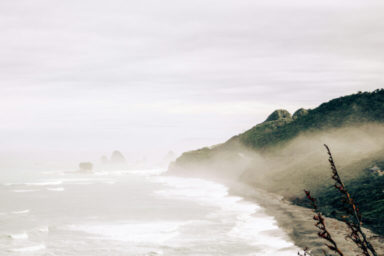
The Tongariro River Mouth — A Maze of Reflections
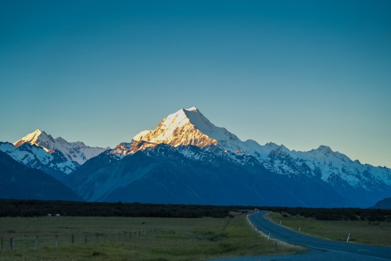
Wake early, because the Desert Road awaits. State Highway 1 runs through the heart of the Tongariro National Park, past the three great volcanoes: Tongariro, Ngauruhoe (Mount Doom to Lord of the Rings fans), and Ruapehu. The landscape is stark, almost lunar — scrubby tussock, ancient lava flows, volcanic rock fields that look like they belong on another planet. Stop at the Turoa skifield turnoff for a photo that captures the scale: the road stretching endlessly toward Ruapehu’s snow-capped peak.
Drop down into the Rangipo Desert proper, where the wind whips across open plains and the only sound is footsteps on gravel. There’s a short walking track near the Desert Road viewpoint — twenty minutes, gentle incline, with views that sweep across the entire volcanic plateau. It’s the kind of place that makes you feel small in the best possible way.
By late afternoon, back at the lake. Drive to the Tongariro River Mouth, where the river meets Lake Taupo in a tangled delta of braided channels and gravel bars. This is the second sunset spot, entirely different from Acacia Bay. Here, the light hits the river’s shallow waters and creates a maze of reflections — golden channels snaking through dark stones, the silhouettes of willows against a crimson sky. Walk out onto the gravel bars to feel like standing in the middle of the lake itself. It’s dramatic, raw, alive with the sound of rushing water.
Cook dinner right there on the riverbank. Bring a camp chair, a good book, and a bottle of Marlborough Sauvignon Blanc. The stars above the Tongariro River are some of the clearest in the North Island.
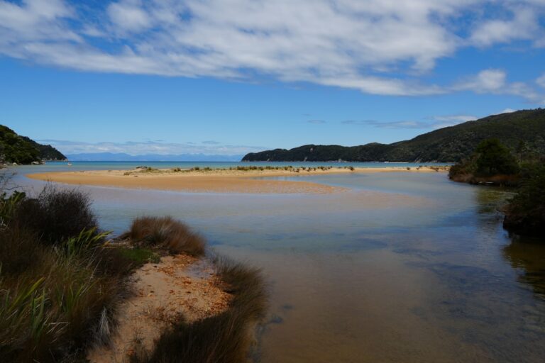
Whakaipo Bay — The One You Came For
Today is about slow exploration. Follow the western shoreline of Lake Taupo, a winding road that hugs the water and passes through pockets of native bush, holiday settlements, and isolated beaches. First stop: the Kinloch Beach track, a thirty-minute walk through manuka scrub to a hidden cove where the water is so clear you can see every pebble on the bottom. Bring togs for a mid-morning swim, with the lake still glassy and quiet.
Further south lies the Whakaipo Bay Track, a longer walk that drops through regenerating forest to a crescent of black sand, fringed by twisted pohutukawa trees. The trail is gentle, the kind of walk where you can carry a picnic and stop halfway for a snack. The beach at the end is a spot to spend an entire afternoon doing nothing except watching the light change on the water.
Dinner is at the Lake House in Kinloch — a proper pub meal in a building that’s been there since the 1920s. Order the fish and chips, sit on the deck overlooking the lake, and watch the sun sink behind the mountains. The sunset from Whakaipo Bay is the third and final spectacle: the sky turns fiery orange, the lake glows like molten copper.
The Timber Trail — A Living Museum
Heading inland today, leaving the lake behind for a day of forest and history. The Timber Trail is a mountain bike and walking route that follows an old logging tramway through the Pureora Forest Park. No bike needed — the first section is an easy walk through towering rimu and tōtara trees, past historic log bridges and the remains of century-old camps. The air smells of damp earth and moss. Listen for the call of the kākā, a native parrot that still lives in these woods.
Pack a picnic lunch and eat at the Bog Inn shelter, a restored hut from the logging era. The trail continues for another hour through the forest, crossing two impressive suspension bridges that sway gently above the river. Emerge at the end of the day with legs tired but spirits high, the sense of walking through a living museum.
Camp tonight at the Pureora Forest Park campground, a basic spot among the trees. There’s no power, no cell service, no distractions — just the sound of the forest settling around. Cook a simple dinner by headlamp, then lie on your back and watch the stars appear through the canopy.
Craters of the Moon and the Drive Home
The last day starts back in Taupo township, at the Craters of the Moon thermal area. A short walk through a landscape that feels like the surface of a distant planet — steam vents, bubbling mud pools, and craters still forming as the earth shifts. The air is thick with sulphur, the ground warm underfoot. A fitting end to a journey through New Zealand’s volcanic heart: walking on a planet still being made.
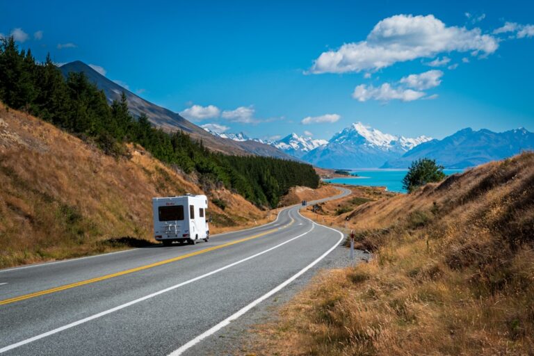
From here, a choice. Head north back to Rotorua via the same thermal highway, making a quick stop at the Huka Falls for one last blast of turquoise water. Or take the longer, more scenic route through the Waikato River valley, past the Aratiatia Rapids and the old hydro dams. The drive is a gentle comedown — the road winding through farmland and forest, the mountains receding in the rearview mirror.
Pull over one last time at the lookout above Taupo township. The lake stretches out below, blue and calm and endless. Three sunsets here, each one different. Salmon on a riverbank, a swim in a hidden cove, walks through ancient forests and steaming craters. And now, as the road unwinds ahead, it makes you want to keep going.
Five days. Three sunsets. One lake.