The mist sits low over the pines on the Routeburn’s first section, and for the better part of an hour the world shrinks to the width of the trail — gravel, roots, the pale underside of a beech canopy. Then the bush opens at the edge of a river flat and there it is, water so clear the stones on the bottom look varnished, running the colour of weak tea over gold. Runners coming back the other way are already wet to the knee and grinning about it.
New Zealand has a way of putting genuinely world-class landscape within reach of anyone with a day to spare and shoes that can handle mud. The country’s great walks get the postcards, but the day walks — the ones that finish at a car park and a flask of cold tea rather than a hut bunk — are the places most first-timers end up talking about afterwards. What follows are nine trails that reward the planning. A few are famous. Some are not, and that is rather the point.
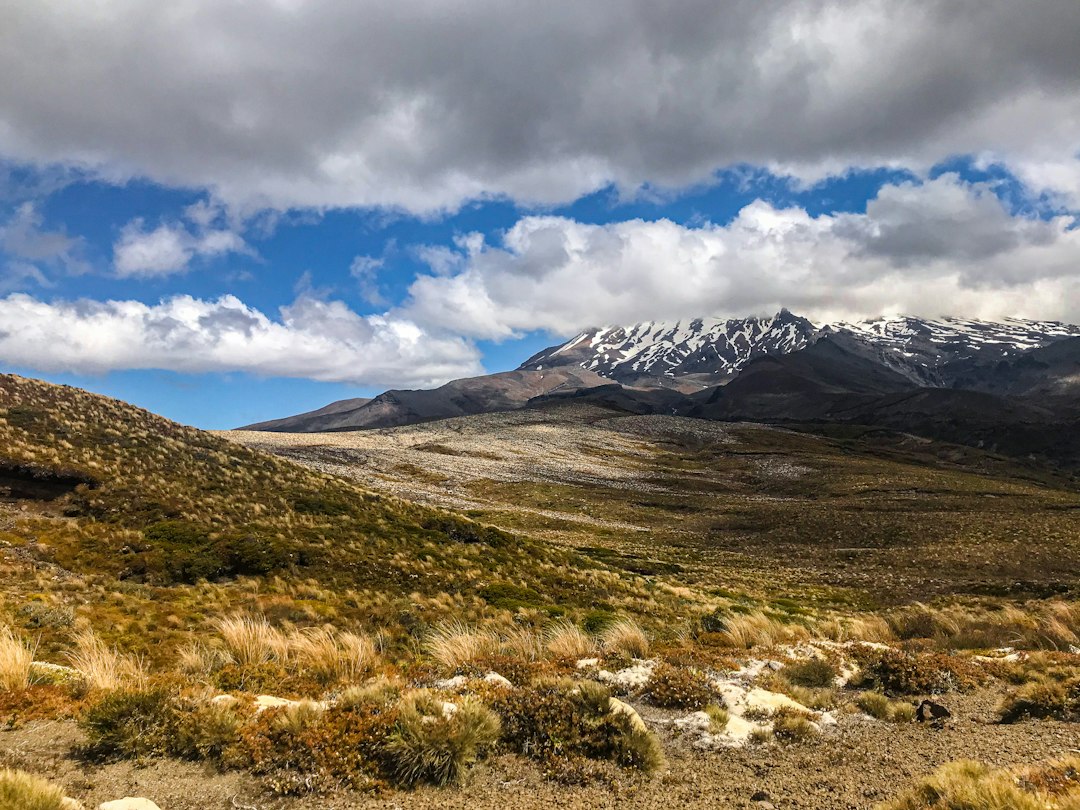
The Tongariro Alpine Crossing is the single most famous day hike in the country, and the fuss is earned. It runs roughly nineteen kilometres across a volcanic plateau of crater lakes, steaming vents and ridges that look borrowed from another planet. The Emerald Lakes really are the colour they appear in photographs — sulfide-green, clouded, impossibly bright against the rust-red rock. A cold wind can arrive on the high section without warning, so even in summer a warm layer and a windproof shell belong in the pack. The track gets crowded on fine weekends; a midweek day in shoulder season gives the same scenery with elbow room.
What surprises people is the descent. The long, loose scree slope down toward Ketetahi is the part nobody photographs, a controlled slide that turns the knees to jelly somewhere around the halfway mark. By the time the track drops into bush again and the smell of sulfur fades, the legs have done a full day’s work. You earn the crater lakes.
On the South Island, an entirely different proposition waits above the treeline at Arthur’s Pass. The Avalanche Peak track is short — a few hours — and steep in a way that feels personal. It climbs through mountain beech that gives way to tussock, then to rock, the gradient barely easing the whole way. Kea patrol the upper sections, and one will work at the rubber trim of a car windscreen with the patience of a locksmith while another eyes an unattended sandwich from a rock two metres away. From the top the whole wrinkled spine of the Southern Alps runs out to the horizon.
The weather here changes faster than the forecast can keep up. A sunny morning at the pass can turn to sleet on the summit ridge within an hour, and walkers turn back regularly because the cloud came in faster than expected. That’s not a reason to skip it — it’s a reason to carry a proper jacket and to treat the mountain with the respect its altitude demands.
Further south, near the bottom of the country, the landscape changes character entirely. On the Tutoko Valley approach, deep in Fiordland, the bush is so dense and green it feels like walking through a terrarium. Moss coats everything at eye level, and the track is rooty and wet enough in places that a slow pace is the only sensible one — the kind of walking where you stop every few hundred metres for no reason other than to look, and then stand there a while longer than you meant to, watching nothing in particular. Sandflies are a genuine presence down here. Anyone who plans a day in Fiordland without insect repellent learns quickly why the locals keep a supply in every vehicle.
This is not a walk for a tight schedule. It’s a place to let the day stretch out.
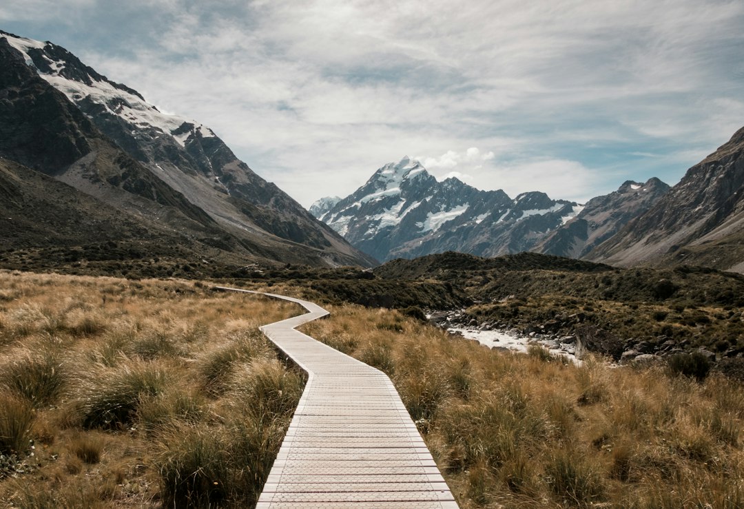
The Hooker Valley track in Aoraki/Mount Cook National Park is the walk most first-timers don’t have on their list at all, and should. It is flat for almost its entire length — a few hours out and back over swing bridges and boardwalk — and it ends at a glacial lake where icebergs float and the mountain stands directly overhead. The valley’s scale is what undoes people. The mountain does not loom so much as tower, its face filling the entire upper half of the sky. On a still day the lake holds the reflection perfectly; on a windy one it’s a grey chop, and the icebergs crowd the far end. It’s the kind of trail a family with young children can manage, which is part of why it fills up.
What ties these trails together is not difficulty. It’s proximity — the sense that the wild is closer to town here than almost anywhere else. Drive forty minutes from downtown Auckland and the forest closes in around the car. The Waitakere Ranges hold a network of tracks through kauri forest and down to surf beaches, and one of the most satisfying is the walk down to Bethells Beach and out along the black sand toward the dunes. The track drops through cool, damp bush and emerges onto a beach where the sand is volcanic-dark and the surf pounds in from the Tasman. On the walk back, the bush is a different temperature, ten degrees cooler, and the air carries the wet-cellar smell of leaf litter.
It’s the kind of place that rewards a wrong turn and a willingness to let the afternoon go sideways.
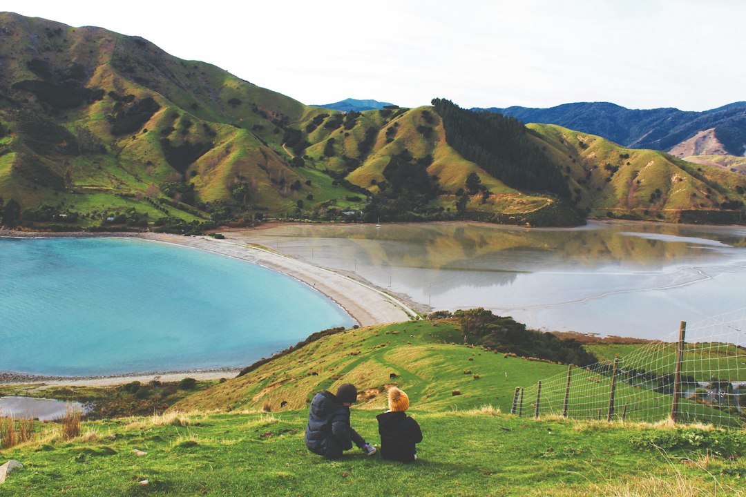
Not every worthwhile hike is alpine. Some of the best are almost entirely horizontal. The Queen Charlotte Track, at the top of the South Island, runs along the ridgelines above the Marlborough Sounds, and a section of it makes an excellent day out for anyone who doesn’t want the full multi-day walk. The water below is that impossible blue-green of the sounds, and the track passes through fern gullies that open onto views across to the outer islands. A water taxi drops walkers at one end and picks them up at a scheduled landing at the other. The logistics are simpler than the terrain suggests.
The catch is the weather. The sounds are named for rain, and they get a lot of it. A wet day here is not the disaster a wet day on the Tongariro would be — the bush is arguably at its best in the rain, and the cloud shredding off the ridges has its own drama.
Down on the Otago Peninsula, a very short walk delivers an outsized return. The track out to the end of the peninsula at Taiaroa Head is barely more than an hour return, but it offers something the big alpine hikes don’t: wildlife at close range. Northern royal albatross wheel above their nesting colony on the headland, their wingspan enormous, and below the track the water is full of fur seals and the occasional penguin coming ashore in the evening. The walk itself is gentle. The reward isn’t measured in altitude gained. For anyone who has done the hard hills and wants something that engages a different part of the imagination, this is the counterweight.
The Abel Tasman Coastal Track’s day sections are famous for golden sand and clear water, and the beaches really are that colour. But the track between the beaches crosses tidal flats and estuary edges where the mud is a genuine obstacle, thick and dark and prone to swallowing a boot. The reward for pushing through is a series of crescent bays that look almost Mediterranean, and the water is warm enough for a swim by the standards of this coast. There is a rhythm to walking the coastal sections — beach, bush, tidal crossing, beach again — that makes a full day on the track feel like several distinct trips strung together.
At the other end of the country, on Stewart Island, the Rakiura Track offers something rarer than any view: the possibility of kiwi in daylight. The track is a multi-day walk normally, but the day section along the coast and up through the bush can be done in a long morning if the transport is organised. The bush is dense and quiet, and the birds are the reason most people come. It is a place where the country’s oldest inhabitants still hold the terrain.
What a first-timer should know before any of this is less about which trail and more about how the country works. Weather in New Zealand’s mountains is not a backdrop. It arrives, changes, and departs on its own schedule, and the difference between a fine day and a dangerous one can be a couple of hours. Carry layers, tell someone your plans, check the forecast and expect it to be wrong. That’s not fussy regulation; it’s the accumulated experience of a place where the terrain can be merciless.
The tracks themselves are generally well marked and well maintained, which is a source of genuine national pride. A first-timer can walk many of these without a guide, on signposted trails, with confidence. But confidence is not the same as disregard. The best day out here is the one where the walker has done the homework, packed the jacket, and then let the trail surprise them anyway.
Because the photographs are accurate, and the moment that stays with people is rarely the summit. It’s the kea that lands on a pack strap — or something like that, some small unplanned thing — or the sudden cold of the bush after the heat of the beach, or the sound of a river that turns out to be louder than expected. The trail gives you the view it promised and then hands you something you didn’t ask for besides.
Plan the trip around one of these nine. The rest will follow.

📷 Photos: Te Pania ♡ (Unsplash), Aaron Sebastian (Unsplash)