Why the Abandoned Highways of Jeju Are Better Than the Tourist Drives
You’ve booked your flight, your rental car is waiting, and the glossy brochures have you dreaming of Jeju’s coastal road—Route 1132, the one with the volcanic cliffs, the endless blue, the stops at Hyeopjae Beach and Seongsan Ilchulbong. It’s a good drive, no question. But here’s the thing about the well-traveled roads: you’re never alone. The car in front of you is also pulling over for the same photo, the parking lot is full by 10 a.m., and the air smells more like diesel exhaust than sea salt. The real Jeju, the one that settles into your bones and changes how you think about driving, lives on the abandoned highways—the concrete ribbons that were once the island’s main arteries, now bypassed by modern expressways and left to the weeds, the wind, and anyone curious enough to explore them.
There’s a specific moment when you first commit to an abandoned road. You’re cruising along the modern highway, smooth and fast, when you spot a turnoff. The asphalt is cracked, the lane markings faded to ghosts. The GPS hesitates. Your rental car’s navigation screen shows a thin gray line, not the bright blue of a confirmed route. You pull over anyway. The first hundred meters feel like trespassing, even though no gate blocks your way. Then the modern highway noise fades, replaced by the sound of wind through pine trees and the crunch of gravel under your tires. You’re not going anywhere fast now. And that’s exactly the point.
Your first candidate should be the old road along the southern coast between Seogwipo and Moseulpo. The modern Route 12 takes you from point A to point B in about forty minutes, four lanes wide, with guardrails that keep you safely separated from the landscape. But just inland, running parallel, is a two-lane stretch of concrete that dates to the 1970s. The pavement has buckled in places, pushed up by tree roots that have spent decades reclaiming their territory. The speed limit signs are still standing, though so faded you can barely read them. You drive slowly here, not because you have to, but because you want to. The canopy of camphor trees meets overhead, dappling the road in shifting green light. At several points, the old highway curves so tightly you can see the ocean only in flashes between the foliage—a tease rather than a full reveal. You’ll pass a single elderly woman walking her dog, a farmer on a tractor hauling persimmons, and no other cars for the entire twenty kilometers.
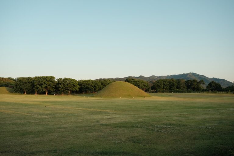
The abandoned roads also give you a geography lesson that the modern highways can’t. When the expressway was built, it cut through the landscape in a straight line, blasting through hills and bridging valleys. The old roads, by contrast, follow the contours of the land. They dip into ravines, climb over ridges, and trace the edges of ancient lava flows. You’ll notice things you’d never see from the fast lane: the ruins of stone walls that once marked field boundaries, the abandoned tangerine orchards where the fruit still grows wild, the weathered wooden signs for guesthouses that closed decades ago. One stretch on the northwestern coast, near Hallim, follows the path of an old irrigation canal. The water still runs, clear and cold, and in the summer you can stop and wade in up to your knees while dragonflies hover above the surface.
You’ll need to adjust your expectations for the surface condition. The old roads are not maintained. Some have potholes the size of dinner plates. Others are partially overgrown, with grass and moss growing up through the cracks. In the rainy season—June through August—certain sections turn into muddy tracks that would challenge a 4×4. A standard sedan can handle most of them if you take it slow and pick your line carefully, but you’ll want to check the undercarriage afterward. Locals who remember these roads as the main route will tell you they were never good to begin with. “We used to call it the washboard,” a shopkeeper in Seogwipo might say if you ask, nodding. “You’d shake your teeth loose. Not that it’s much different now, I guess.” The key is to drive defensively: watch for loose gravel on the curves, avoid puddles that could hide deep potholes, and never assume the road continues around a blind corner until you can see it with your own eyes.
The reward for this caution is access to places that feel genuinely undiscovered. One afternoon, you’ll follow an old road that dead-ends at a cliff overlooking the sea. The modern highway continues a kilometer inland, so the only people who ever see this spot are the ones who make a deliberate detour. You park on the grass, walk to the edge, and find yourself looking down at a sea stack—a volcanic pillar that rises from the water, covered in wind-bent pines. The waves crash against its base with a rhythm that feels ancient. There’s no sign, no viewing platform, no ticket booth. Just you, the rock, and the wind.
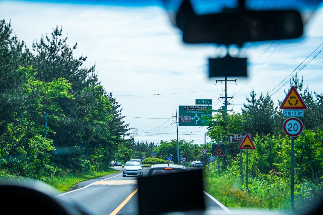
Navigation requires a different strategy than what you’re used to. GPS apps don’t know these roads exist, or if they do, they route you away from them. The trick is to use a paper map—the old-school kind that shows every minor road, not just the paved ones. You can buy one at the tourism office in Jeju City. Mark the abandoned highways in pen, then use the GPS only to get to the nearest town. From there, follow the map and your instincts. If the road narrows to one lane and the pavement changes color from dark gray to a lighter, dusty shade, you’re on the right track. Bring a backup battery for your phone, because you’ll lose cell service within minutes of leaving the main route. This is not a problem. It’s the whole idea.
Timing matters more than you think. The abandoned roads are at their best in late autumn, from mid-October through November. The tangerine harvest is underway, and the air smells sweet and citrusy. The summer humidity has broken, so the visibility is crystal clear—you can see Hallasan’s volcanic peak from thirty kilometers away. The midday sun is warm but not punishing, and the light has a golden quality that makes the old asphalt glow up. Winter is too cold for extended drives, and spring brings fog that can make the narrow roads treacherous. Summer, with its heat and sudden downpours, will test your patience. But in autumn, these forgotten routes feel like they were built specifically for you.
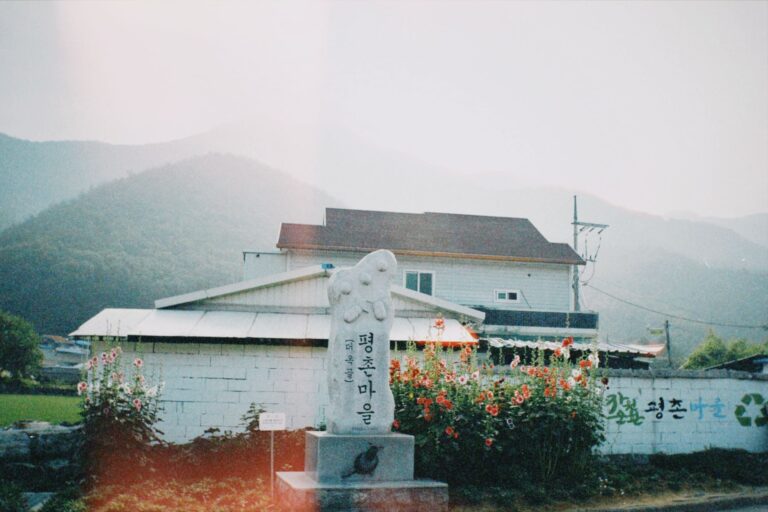
You’ll also discover that the abandoned highways connect places in a way the modern roads don’t. The new expressway bypasses every village, leaving them isolated and quiet. The old road, by contrast, runs right through the center of each settlement. You’ll find yourself stopping in towns you never would have visited otherwise: a cluster of stone houses at the base of a volcanic cone, a fishing port where the catch is unloaded directly onto the dock, a market selling fermented skate and homemade persimmon vinegar. The people who live here are used to seeing very few visitors. They will wave as you pass, and if you stop, they will try to feed you. This is not a tourist experience. This is an invitation into a way of life that exists apart from the glossy advertisements.
One specific stretch deserves special attention: the old road that runs along the eastern flank of Hallasan, the island’s central volcano. This was once the main route connecting the north and south coasts, before the tunnel was built in the 1990s. Now it’s a narrow, winding road that climbs through pine forest and past abandoned tea plantations. At the highest point, around 600 meters above sea level, the road emerges from the trees and you’re suddenly above the clouds. The entire island spreads out below you—the patchwork of green fields, the blue strip of the coast, the distant ships on the horizon. You’ll pull over at the exact spot where the old lava flow created a natural viewpoint, a flat outcrop of black rock. There’s no railing, no safety barrier. Just the drop and the view and the wind.
The downside, and it’s honest to mention it, is that these roads require more effort than a typical Jeju driving holiday. You will get lost. You will take a wrong turn and end up on a dirt track that peters out in a field of barley. You will have to reverse hundreds of meters because the road was never meant to turn around a truck. Your car will get dusty, maybe muddy. You might have to abandon your plan and backtrack to the modern highway just to find a place to fill up your gas tank. The fuel stations on the old roads are few and far between—plan for that, and don’t let your tank drop below half. The locals who live along these routes are used to helping stranded drivers, and they will, but better to avoid the need.
But here’s what you get in return: a version of Jeju that no tour bus can deliver. You’ll drive through a tunnel carved by hand in the 1960s, the chisel marks still visible in the basalt. You’ll stop at a spring where women have washed their laundry for generations, the water so clear you can see the stones on the bottom. You’ll eat a lunch of grilled mackerel at a tiny restaurant that has no English menu and no website, but where the owner will insist you try her homemade kimchi. You’ll stand at the end of a road that leads nowhere.
The abandoned highways of Jeju are not for everyone. They’re for drivers who prefer the journey to the destination, who find joy in unexpected detours, who are willing to trade convenience for authenticity. If you’re the kind of traveler who cherishes the moment the GPS loses signal and the road becomes yours alone, these forgotten routes are waiting. The only question is whether you’ll turn off the modern highway and take the path less driven. The answer, if you’ve read this far, is probably already yes.

📷 Photos: JinHui CHEN (Unsplash), 하준 윤 (Unsplash)