Pasir Ris at Low Tide
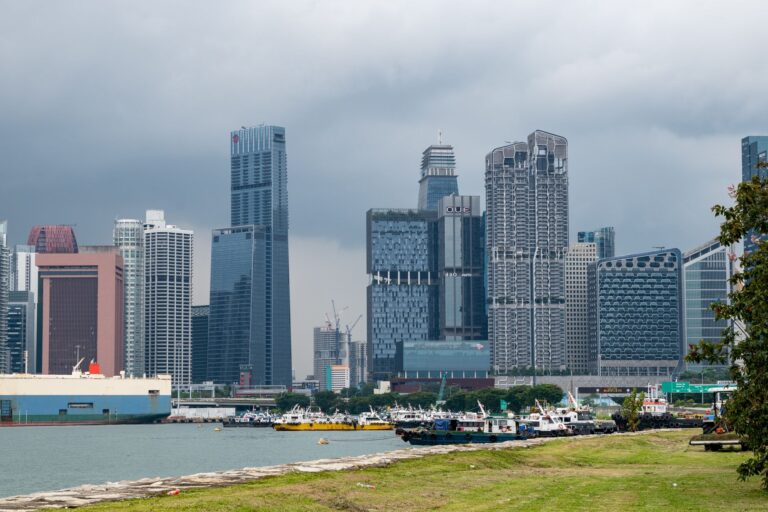
You’d be forgiven for thinking Singapore’s coastline is all shipping ports and reclaimed land, a tidy border for a city-state that has famously traded its wilderness for vertical ambition. But the wild edges haven’t been entirely erased — they’ve just been hiding, waiting for someone with a car, a sense of curiosity, and a willingness to leave the MRT map behind. On a self-drive loop of the island’s northern and eastern reaches, you’ll discover a Singapore that moves at a different rhythm, where the air smells less like concrete and more like wet earth, salt, and the quiet rustle of leaves.
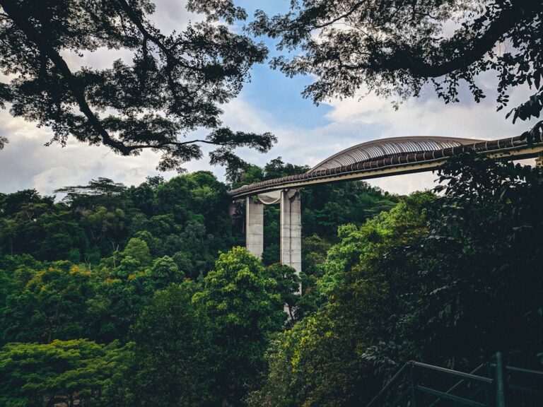
The beauty of this loop is that it doesn’t require grand ambition. Pushing off from the northeast corner — the area around Pasir Ris — sets the tone. Pasir Ris Park is often written off as just another waterfront promenade, but the real draw here is the mangrove boardwalk that snakes along Sungei Tampines, one of the island’s last remaining riverine mangrove forests. The moment you step onto the wooden planks, the temperature drops, the city noise fades, and you’re suddenly in a cathedral of twisting roots and brackish water. You’ll want to go at low tide, when the mudflats are exposed and the crabs — brilliant red and orange — scuttle across the surface. The air is thick with humidity, and the silence is punctuated by the occasional splash of a monitor lizard slipping into the water. You stay longer than you planned.
A Fallen Log in Seletar
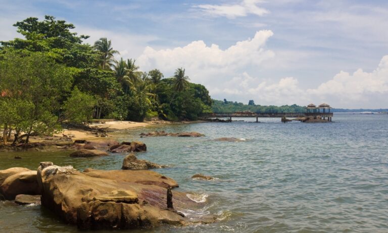
From here, continue north, tracing the coastline toward the Seletar area. This stretch feels almost rural, with low-rise buildings and wide, empty roads. Pull over at the Seletar Country Club area, where a small, unmarked path leads to a secluded stretch of beach that most Singaporeans have never bothered to find. The sand is coarse, the water murky, and the view is of Johor’s skyline across the strait — no resort, no infinity pool, just the honest, unglamorous edge of the island. This is where you pause, eat a simple sandwich you packed yourself, and let the quiet settle into your bones.
Mirrored Sky in Lorong Halus
As you curve west, the landscape opens into the sprawling wetlands of Lorong Halus. The former landfill site has been transformed into a wetland park, and the boardwalk here is longer and more exposed than the one at Pasir Ris, skirting a large pond where you’ll spot herons, egrets, and the occasional otter family. The path is well-maintained, but the real draw is the narrow, less-traveled wooden walkways that wind through the reeds. Here, the water is still, mirroring the sky, and the only sound is the wind moving through the cattails. You lose track of time, your phone forgotten in your pocket.
A Crocodile on the Mudbank
The loop continues into Sungei Buloh Wetland Reserve. You’ll pay the small entrance fee, park your car, and immediately feel like you’ve entered another world. The boardwalks here are elevated, carrying you over mudflats and mangroves, offering views that stretch all the way to the Malaysian coast. The reserve is famous for its migratory birds — sandpipers, plovers, and if you’re lucky, a Brahminy kite circling overhead — but the real star is the crocodile. Estuarine crocodiles live in Sungei Buloh, and you’ll likely see one during the late afternoon, when the sun is low and they emerge to bask on the mudbanks. It’s a primal sight, one that stirs something ancient — a reminder that this island was once part of a much larger, wilder world.
Nasi Lemak at Changi Village
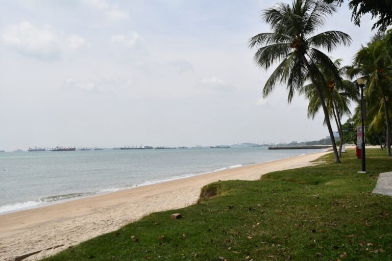
After Sungei Buloh, the drive loops back toward the eastern coast, where the landscape shifts from mangroves to the manicured lawns of Changi Beach Park. Head to the less-visited northern end, near the old Changi Village, where the sand is quieter and the water is calm enough for a short swim. The hawker center nearby is your reward — order a plate of nasi lemak, the coconut rice fragrant and rich, the fried chicken skin crackling, the sambal giving everything a perfect heat. Eat at one of the wooden tables overlooking the water, and watch the planes coming in low over the strait, descending into Changi Airport. It’s a strange but satisfying juxtaposition: the wildness of the mangroves you just left, and the sleek efficiency of global travel, all within a few kilometers.
The real trick to this loop is timing. Start early, just after sunrise, when the air is still cool and the mangroves are at their most active. By mid-morning, be at Pasir Ris or Lorong Halus, when the light isn’t yet harsh. Pause for lunch in a neighborhood coffee shop — the kind that serves iced kopi and toast with kaya, that sweet coconut jam — before heading to Sungei Buloh in the late afternoon, when the birds and crocodiles are most visible. End your day at Changi Beach, just as the sun begins to set, the sky turning shades of orange and pink over the strait.
What you’ll take away from this loop is not a checklist of Instagrammable spots. It’s a deeper sense of place, a feeling that Singapore still holds secrets, even for those who have lived here their whole lives. The mangroves, the mudflats, the quiet beaches — they’re not just remnants of a lost landscape; they’re living, breathing ecosystems that continue to thrive, often ignored by the city’s frantic pace. On this self-drive loop, you become a traveler in your own backyard, rediscovering the island not as a tourist attraction, but as a home that still surprises you.