A Track That Was Never Meant to Last
A Track That Was Never Meant to Last
The Old Kea Track doesn’t appear on most official maps of Fiordland National Park. It’s not signposted from the Milford Road, and the Department of Conservation’s online database lists it only in a footnote about historical routes that have been formally decommissioned. What remains, for those who know where to look, is a roughly nine-kilometer corridor of rusted rail sleepers, collapsed trestles, and grade cuts that haven’t seen maintenance since the 1970s.
The track was originally a tramway, built in the 1930s to service a hydroelectric scheme that never quite worked as planned. The railway sleepers — jarrah and totara, shipped in from Australia and hauled up the Hollyford Valley — were meant to carry supply wagons to a dam site in the hanging valley above Lake Marian. The dam was abandoned after a series of cost overruns and a landslide that buried half the construction camp. The sleepers stayed. So did a few lengths of rail, now half-buried in moss and pakihi scrub.
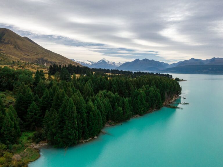
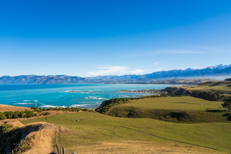
Most visitors to the Milford Road drive straight past the Kea Valley turnoff. The pull-off is unmarked — a gravel shoulder big enough for two cars, about 14 kilometers south of the Homer Tunnel. There’s no carpark, no toilet, no information board. The track itself begins as a faint depression in the manuka, running roughly southeast toward the 1,200-meter cirque that cups the headwaters of the Kea River.
The Sleepers Tell a Story of Their Own
The first kilometer is the easiest. The old tramway grade is still clear, cut into the hillside at a steady three-percent incline — gentle enough that the original wagons could roll down under gravity, with a brakeman riding the rear. The sleepers here are mostly intact, laid in a pattern that suggests haste: spacing is irregular, and many are simply wedged into the ground without ballast. A few still carry the square holes where spikes once held the rail.
By the second kilometer, the track narrows. The sleepers become intermittent — some pulled up by hunters for firewood, others washed into the creek during the 1983 floods that reshaped much of the lower valley. A lot of coverage of this route mentions the “disappearing” or “hidden” nature of the sleepers, but what gets missed is the variety in their condition. Some are almost pristine, their surfaces still showing the circular marks of the broadaxe that dressed them. Others are soft as peat, collapsing under a boot heel.
An ecologist from the University of Otago, who asked not to be named because she wasn’t authorized to speak on behalf of her department, spent three summers documenting the decay rates of the remaining timber. “What’s surprising is not that they’re rotting,” she said during a conversation at a petrol station in Te Anau. “It’s that they’re rotting at different speeds depending on the tree species and the aspect. The ones on the north-facing slope, exposed to sun and salt from the Tasman — those are going faster than anyone predicted. The ones in the damp shade under the silver beech might outlast the rest of us.”
She estimated that, at current rates, the last intact sleeper would be gone within twenty-five years. The track itself, she added, would become almost invisible within a decade after that.
A Slip on a Submerged Sleeper
The obvious time to walk the Old Kea Track is late summer, February or March, when the chances of fine weather are highest and the sandflies are slightly less aggressive. The mistake is assuming that fine weather means easy going.
A group of four trampers from Christchurch learned this in late January 2024. They had planned a single-day traverse from the Milford Road to the cirque and back, budgeting six hours. The forecast was clear. They started at 9 a.m., following the tramway grade as it bent around the shoulder of Mount Christina. Three hours in, they reached the point where the track crosses the Kea River — a ford that in summer is usually ankle-deep but runs as a series of braided channels over a bed of round schist stones.
What the forecast hadn’t predicted was a sudden release of meltwater from a small icefield above the treeline. The river rose by about 30 centimeters in forty minutes. The group attempted to cross at a wider section downstream, where the current appeared slower, and one of the trampers slipped on a submerged sleeper that lay across the riverbed. The fall cost them an hour: drying gear, checking for injury (a bruised rib, nothing broken), and finding a safer crossing point higher up. They reached the cirque at 2:30 p.m., turned around immediately, and made it back to the car at 8 p.m. in near-darkness.
The slip cost them something that didn’t appear on any spreadsheet. They missed the light hitting the cirque’s headwall — that specific late-afternoon angle that turns the granite to a pale copper. The person who fell later described the moment not as frightening but as “annoying in a way that’s hard to explain to anyone who hasn’t done it.” It wasn’t the injury. It was knowing that the rest of the day had been decided by a piece of wood that had been lying in the same spot for over eighty years.
The Cirque Itself Is the Destination
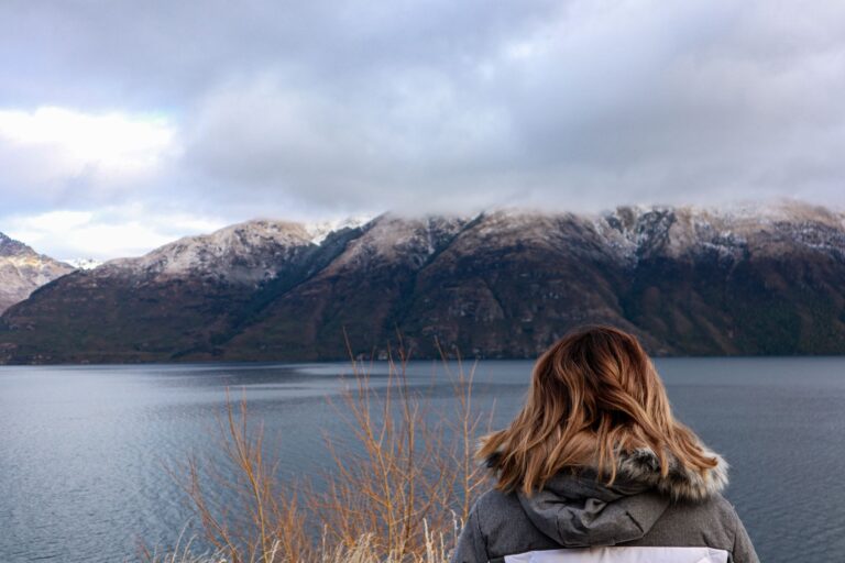
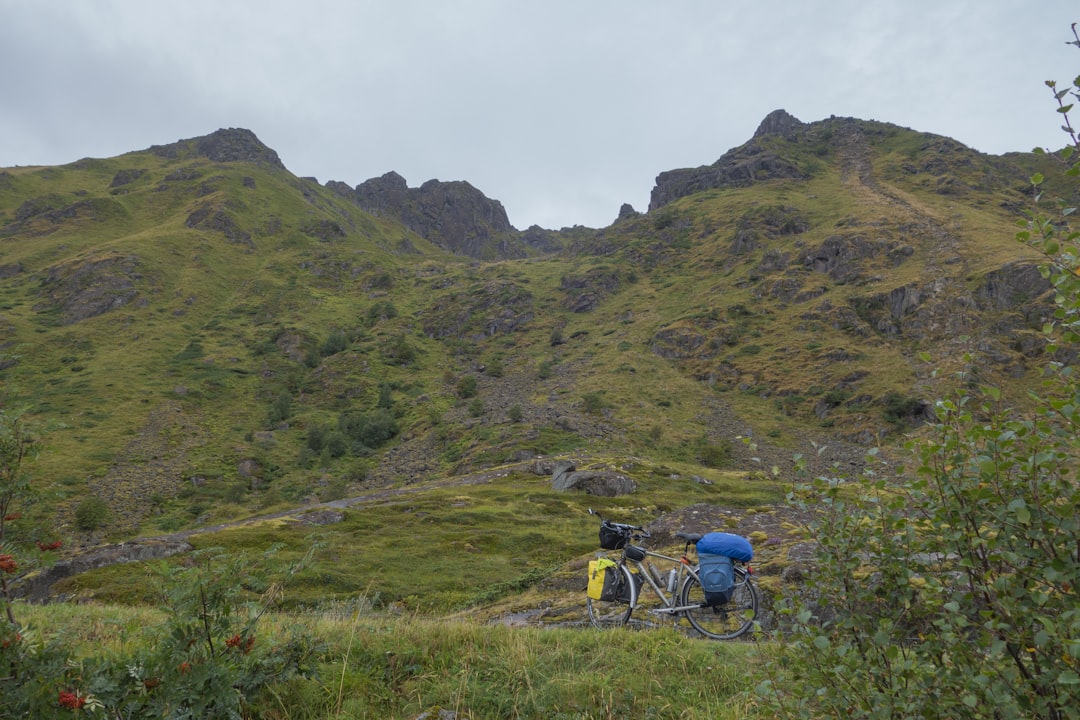
The track ends at a moraine wall, roughly 100 meters high, that marks the lip of the hanging valley. Beyond it, the cirque opens as a near-perfect amphitheater of cliffs, with a small tarn at its base that drains through a gap in the moraine. The water is the color of weak tea — stained by tannins from the surrounding beech forest, but clear enough to see the bottom at three meters’ depth.
What most accounts don’t mention is how abruptly the vegetation changes. The lower track passes through dense silver beech and kamahi, with the occasional rimu reaching for the canopy. Above the moraine, the trees stop almost exactly at a line of elevation. The cirque floor is tussock and alpine herbs — edelweiss, mountain daisies, the occasional cushion plant — with no transition zone. It’s as if someone drew a line and said, “No further.”
There’s no established campsite. There’s no toilet, no water source apart from the tarn, and no shelter. The few people who overnight here typically pitch tents on the tussock, using rocks to hold the pegs. The ground is damp even in summer — a function of the cloud that funnels through the surrounding saddles, settling in the cirque overnight and usually lifting by mid-morning. One repeat visitor, a tramper from Invercargill who has made the trip five times since 2018, described waking to find his tent coated in ice crystals in late February. “It’s not hostile,” he said. “It’s just indifferent. The cirque doesn’t care if you’re there.”
What the Geology Says
The cirque was carved during the last glacial maximum, when a small valley glacier scoured out the bowl and left the moraine as a terminal deposit. The schist that forms the headwall is shot through with quartz veins, some of them thick as an arm. Rockfall is common — the floor is littered with angular blocks that have come down in the last decade, and the sound of stone tumbling echoes off the walls for several seconds after the initial noise.
A geologist from GNS Science, who visited in 2022 as part of a broader survey of Fiordland’s glacial landforms, noted that the cirque retains its shape unusually well because the bedrock is relatively resistant to freeze-thaw weathering. “Most of these hanging valleys are filling in with rubble at a much faster rate,” he said. “This one is still in its adolescence, geologically speaking. Give it another ten thousand years and it’ll look completely different — more like a rounded basin than a sharp bowl.”
The Cull and the Silence
Fiordland’s deer culls of the 1960s and 1970s left a mark on the Kea Valley that isn’t visible from the track but becomes obvious once the cirque is reached. The tussock is shorter than it should be — the result of decades of heavy grazing by red deer before the culling programs brought the population under control. A few patches of snow tussock reach waist height in sheltered hollows, but most of the floor is cropped to ankle length.
The difference is noticeable not just in the vegetation but in the soundscape. Without tall tussock to rustle, the cirque is remarkably quiet — especially compared to the lower valley, where wind through the beech canopy creates a constant low roar. “It’s the silence that catches people,” said a conservation volunteer who spent a week in the valley in 2023, chainsawing windfall from the track. “You stand in the middle of that bowl, and you can hear your own pulse. It’s not peaceful in the way people expect. It’s more like being in a room with no furniture.”
That volunteer’s team had been tasked with clearing a section of the track that had been blocked by a large rimu that fell during a storm in 2022. They worked for three days, cutting and hauling, and left the track passable — but only just. The Department of Conservation has no plans for further maintenance. The track’s official status, as of 2024, is “unmaintained and not recommended for general use.”
A View from the Ridge North
The best view of the track isn’t from the track itself. It’s from the ridge to the north — a sharp spine of schist that rises about 400 meters above the cirque, accessible via a rough scramble that starts from the treeline near the upper ford. From there, the tramway grade is visible as a pale line cutting across the slope below, interrupted by the dark patches where the forest has reclaimed the cut. The sleepers don’t show at all from that height. Only the grade remains — a faint scar that, from a distance, could be mistaken for a deer trail or a natural drainage line.
A local guide who leads small groups into the valley two or three times a year said that most people miss this view because they’re focused on reaching the cirque. “They want to stand at the end, take a photo, turn around. But the track is the interesting part — the way it twists around the spurs, the way it was built with hand tools and horse teams. The cirque is just the payoff.”
She charges $180 per person for a full-day trip, including transport from Te Anau and a packed lunch. The trip runs from November to April, with a strict cutoff for bookings — no groups larger than six, and no exceptions for poor weather. “If the cloud is below 800 meters, we don’t go,” she said. “There’s no point. You’re just walking through fog looking at wet sleepers. You might as well stay in town and look at photos.”
The Old Kea Track will still be there, slowly turning back into bush, for at least another couple of decades. The cirque will still be there longer than that, indifferent to who shows up and who doesn’t.
📷 Photos: Snap Wander (Unsplash), Alex Korolkoff (Unsplash)